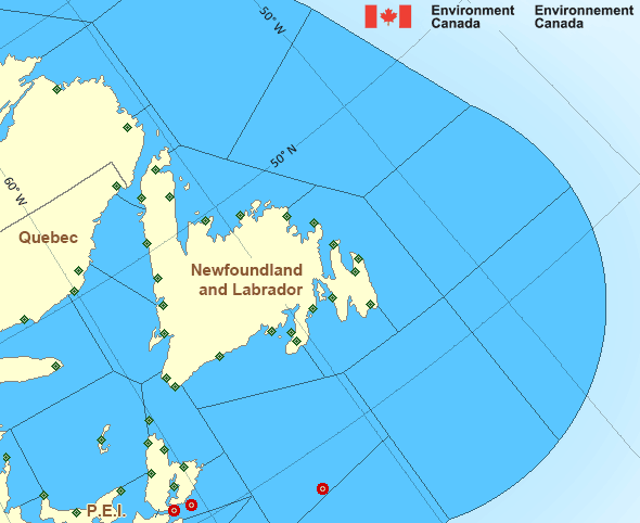
Northeast Gulf: Past 24 Hour Conditions
East Chedabucto Bay - 44488
03:00 AM ADT 02 July 2025Buoy position: 45.45N 60.95W| Date / Time (ADT) |
Wind(knots) | Wave height(m) | Wave period(s) | Pressure(kPa) | Air temp(°C) | Water temp(°C) |
|---|---|---|---|---|---|---|
| 02 July 2025 | ||||||
| 3:00 | SSW 7 gusts 10 | 0.75 | 7.1 | 100.7 | 16 | 13 |
| 2:00 | SSW 8 gusts 10 | 0.77 | 7.6 | 100.8 | 16 | 13 |
| 1:00 | SSE 13 gusts 14 | 0.84 | 7.9 | 100.8 | 15 | 13 |
| 0:00 | SW 4 gusts 8 | 0.73 | 7.3 | 100.9 | 15 | 13 |
| 01 July 2025 | ||||||
| 23:00 | S 8 gusts 9 | 0.87 | 7.8 | 101.0 | 15 | 13 |
| 22:00 | S 7 gusts 8 | 0.74 | 7.6 | 101.0 | 15 | 13 |
| 21:00 | SSE 6 gusts 8 | 0.84 | 7.6 | 101.0 | 14 | 13 |
| 20:00 | SSE 11 gusts 13 | 0.82 | 6.8 | 101.1 | 15 | 13 |
| 19:00 | S 8 gusts 14 | 0.83 | 6.7 | 101.1 | 15 | 13 |
| 18:00 | SSW 16 gusts 19 | 0.82 | 7.3 | 101.1 | 16 | 13 |
| 17:00 | SSW 12 gusts 14 | 0.92 | 7.2 | 101.2 | 17 | 13 |
| 16:00 | SSW 12 gusts 13 | 0.84 | 7.5 | 101.2 | 17 | 13 |
| 15:00 | S 11 gusts 15 | 0.89 | 8.0 | 101.2 | 17 | 13 |
| 14:00 | SSE 11 gusts 13 | 1.05 | 8.1 | 101.3 | 15 | 13 |
| 13:00 | SSE 8 gusts 10 | 1.03 | 8.2 | 101.3 | 16 | 13 |
| 12:00 | SSE 8 gusts 9 | 0.88 | 8.1 | 101.4 | 16 | 13 |
| 11:00 | SSE 10 gusts 11 | 0.91 | 8.0 | 101.4 | 16 | 13 |
| 10:00 | ESE 6 gusts 7 | 1.01 | 8.5 | 101.4 | 15 | 13 |
| 9:00 | SSE 5 gusts 6 | 1.13 | 8.6 | 101.5 | 15 | 13 |
| 8:00 | SSW 2 gusts 3 | 1.19 | 8.4 | 101.4 | 15 | 13 |
| 7:00 | SSW 5 gusts 5 | 1.15 | 8.5 | 101.4 | 14 | 12 |
| 6:00 | SW 4 gusts 5 | 1.08 | 8.2 | 101.4 | 13 | 12 |
| 5:00 | SSW 3 gusts 4 | 1.03 | 8.0 | 101.4 | 13 | 12 |
| 4:00 | W 2 gusts 3 | 1.05 | 8.0 | 101.4 | 13 | 12 |
| 3:00 | SSW 4 gusts 5 | 0.95 | 7.7 | 101.3 | 14 | 12 |
If you require additional historical weather information please visit Fisheries and Oceans Canada
Zoom-in to make a selection

Legend:
Atlantic - Newfoundland Area
Another Region
- Date modified: