
L'Isle-aux-Coudres to Tadoussac
Forecast
Marine Forecast
Issued 03:00 AM EDT 11 October 2026
Today Tonight and Monday.
Gale warning in effect.
Wind light increasing to southwest 10 to 15 knots early this morning and to southwest 15 to 25 late this morning. Wind increasing to southwest 25 to 35 near noon then diminishing to southwest 15 to 25 this evening. Wind increasing to northeast 25 to 35 Monday morning then diminishing to northeast 15 to 25 Monday afternoon. Wind diminishing to northeast 10 to 15 Monday evening.
Periods of rain Monday.
Waves
Extended Forecast
Stay connected
 ATOM
ATOMWeather Conditions
Zoom-in to make a selection
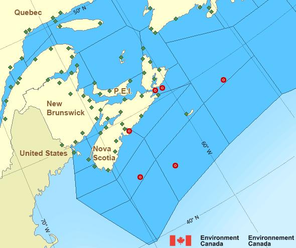
 Buoy
Buoy  Land Station
 Ice Conditions
There is no ice forecast issued for this area.
Warnings
Warnings (In effect)
Gale warning in effect
L'Isle-aux-Coudres to Tadoussac
Issued 03:00 AM EDT 11 October 2026'Gale' force winds of 34 to 47 knots are occurring or expected to occur in this marine area. Watch for updated statements. Please refer to the latest marine forecasts for further details and continue to monitor the situation through Canadian Coast Guard radio.
Synopsis
Technical Marine Synopsis
Issued 3:00 AM EDT 11 October 2026 Today Tonight and Monday At 3:00 a.m. EDT today ridge located on a line north-south overRivière-du-Loup.
By 3:00 p.m. EDT today weakening ridge located on a line north-south
over Nova Scotia.
At 3:00 p.m. EDT today ridge located from Labrador to Lake Superior.
By 8:00 p.m. EDT Monday trough located on a line east-west over
Cornwall.
At 3:00 a.m. EDT Monday ridge located from Hudson Bay to Labrador.
By 8:00 p.m. EDT Monday ridge located from Hudson Bay to New
Brunswick.
Atlantic - Maritimes Area
- Anticosti - northeastern half
- Anticosti - southwestern half
- Banquereau
- Bras d'Or Lakes
- Browns Bank
- Cabot Strait
- Chaleur - Miscou - eastern half
- Chaleur - Miscou - western half
- Eastern Shore - eastern half
- Eastern Shore - western half
- East Coast - Cape St. Francis and south
- East Scotian Slope
- Fourchu
- Fundy
- Georges Bank - northern half
- Georges Bank - southern half
- Grand Manan
- Gulf - Magdalen - northeastern half
- Gulf - Magdalen - southwestern half
- Gulf - Port au Port
- Halifax Harbour and Approaches
- LaHave Bank
- Laurentian Fan
- Lurcher
- L'Isle-aux-Coudres to Tadoussac
- Northumberland Strait
- Pointe à Michel to Pointe-des-Monts
- Pointe-des-Monts to Anticosti - northern half
- Pointe-des-Monts to Anticosti - southern half
- Sable - eastern half
- Sable - western half
- Southeastern Grand Banks
- Southwestern Grand Banks
- Southwestern Shore
- Southwest Coast
- South Coast
- Tadoussac to Pointe à Michel
- West Scotian Slope - northern half
- West Scotian Slope - southern half
Another Region
- Date modified: