
Gulf - Magdalen - southwestern half
Forecast
Marine Forecast
Issued 10:00 AM AST 15 November 2026
Today Tonight and Monday.
Strong wind warning in effect.
Wind northerly 15 knots increasing to northwest 20 early this afternoon then diminishing to westerly 15 early Monday morning.
Scattered showers ending after midnight.
Waves
Issued 05:00 AM AST 15 November 2026
Today Tonight and Monday.
Seas 1 metre or less building to 1 to 2 early this
evening.
Extended Forecast
Issued 03:00 AM AST 15 November 2026
Tuesday
Wind west 15 knots increasing to west 20 to 25
in the afternoon.
Wednesday
Wind west 20 to 25 knots.
Thursday
Wind northwest 20 knots diminishing to
light.
Stay connected
 ATOM
Weather Conditions
Zoom-in to make a selection
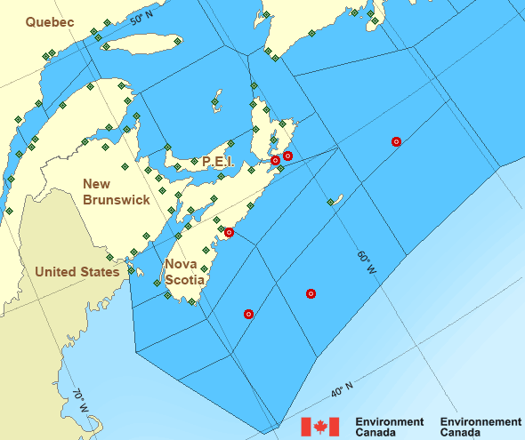
Legend:
 Buoy
 Land Station
Ice Conditions
Ice Forecasts
Issued 10:00 AM EDT 19 May 2026 Forecasts have ended for the season.Iceberg Bulletin
Issued 1:30 PM EST 14 November 2026Iceberg Limit
Iceberg limit at 0000 UTC 15 Nov estimated from Labrador near 5200N5600W to 5145N 5500W to 5215N 5030W to 5330N 5015W to 6000N 5800W to
6125N 5445W to 5915N 4700W then eastward.
Iceberg Count
No confirmed icebergs.Warnings
Warnings (In effect)
Strong wind warning in effect
Gulf - Magdalen - southwestern half
Issued 10:00 AM AST 15 November 2026'Strong' winds of 20 to 33 knots are occurring or expected to occur in this marine area. Please refer to the latest marine forecasts for further details and continue to monitor the situation through Canadian Coast Guard radio.
Synopsis
Technical Marine Synopsis
Issued 10:00 AM AST 15 November 2026 Today Tonight and Monday At 10:00 a.m. AST today departing trough located southeast of theMarine District.
At 8:00 p.m. AST tonight ridge located near the Great Lakes.
By 8:00 p.m. AST Monday ridge located over New England.
Atlantic - Maritimes Area
- Anticosti
- Banquereau - northeastern half
- Banquereau - southwestern half
- Bras d'Or Lakes
- Browns Bank
- Cabot Strait
- Chaleur - Miscou
- Eastern Shore - eastern half
- Eastern Shore - western half
- East Coast - Cape St. Francis and south
- East Scotian Slope
- Fourchu
- Fundy
- Georges Bank
- Grand Manan
- Gulf - Magdalen - northeastern half
- Gulf - Magdalen - southwestern half
- Gulf - Port au Port
- Halifax Harbour and Approaches
- LaHave Bank
- Laurentian Fan
- Lurcher
- L'Isle-aux-Coudres to Tadoussac
- Northumberland Strait
- Pointe à Michel to Pointe-des-Monts
- Pointe-des-Monts to Anticosti - northern half
- Pointe-des-Monts to Anticosti - southern half
- Sable - eastern half
- Sable - western half
- Southeastern Grand Banks
- Southwestern Grand Banks
- Southwestern Shore
- Southwest Coast
- South Coast
- Tadoussac to Pointe à Michel
- West Scotian Slope
Another Region
Features
View yesterday's weather data

Check out weather conditions from the previous day using the Past Data link on each location page.
- Date modified: