
Strait of Belle Isle - eastern half
Forecast
Marine Forecast
Issued 08:00 PM NDT 18 May 2024
Tonight and Sunday.
Wind light becoming southeast 15 knots Sunday afternoon.
Fog patches forming late this evening and dissipating Sunday morning.
Waves
Issued 06:00 PM NDT 18 May 2024
Tonight and Sunday.
Seas 1 metre or less.
Extended Forecast
Issued 03:30 PM NDT 18 May 2024
Monday
Wind south 10 to 15 knots veering to southwest
15 to 20 in the morning.
Tuesday
Wind southwest 15 to 20 knots.
Wednesday
Wind northeast 10 to 15 knots.
Ice Forecast
Stay connected
 ATOM
ATOMWeather Conditions
Zoom-in to make a selection
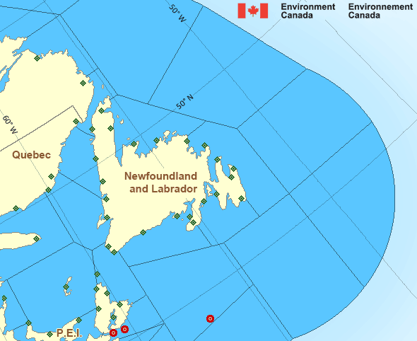
Legend:
 Buoy
Buoy  Land Station
 Ice Conditions
Ice Forecasts
Issued 10:00 AM EDT 18 May 2024 Today Tonight and SundayIce Edge
Ice edge estimated from Labrador near 5335N 5602W to 5445N 5307W to5620N 5548W to 5738N 5735W to 6200N 6020W then northeastward. Sea
ice west of the ice edge.
Ice Coverage
Bergy water.
Iceberg Bulletin
Issued 2:30 PM EDT 18 May 2024Iceberg Limit
Iceberg limit at 0000 UTC 19 May estimated from Newfoundland near4651N 5301W to 4705N 4940W to 4825N 4655W to 5415N 4740W to 5740N
5210W to 5710N 4755W then eastwards.
Western iceberg limit at 0000 UTC 19 May estimated from Quebec near
5011N 6132W to Newfoundland near 4800N 5904W.
Iceberg Count
51 to 100 icebergs.Warnings
No watches or warnings in effect.
Synopsis
Technical Marine Synopsis
Issued 8:00 PM NDT 18 May 2024 Tonight and Sunday At 8:00 p.m. NDT tonight ridge located from Labrador Coast to theNortheast Coast of Newfoundland.
By 8:00 p.m. NDT Sunday ridge located from Labrador Sea to Funk
Island Bank.
At 8:00 p.m. NDT tonight quasi-stationary low 1009 mb located
southeast of Cape Cod.
Atlantic - Newfoundland Area
Another Region
- Date modified: