
South Labrador Coast
Forecast
Marine Forecast
Issued 09:30 PM NDT 01 July 2025
Tonight and Wednesday.
Wind southeast 15 to 20 knots veering to south 25 after midnight then diminishing to south 15 to 20 near noon Wednesday. Wind diminishing to variable 10 to 15 Wednesday evening.
Showers and fog banks.
Waves
Issued 06:00 PM NDT 01 July 2025
Tonight and Wednesday.
Seas 1 to 2 metres.
Extended Forecast
Issued 04:00 PM NDT 01 July 2025
Thursday
Wind variable 10 to 15 knots increasing to
northwest 25 in the morning then diminishing to variable 10 to 15 late in the
day.
Friday
Wind southeast 10 to 15 knots.
Saturday
Wind light.
Ice Forecast
Stay connected
 ATOM
ATOMWeather Conditions
Zoom-in to make a selection
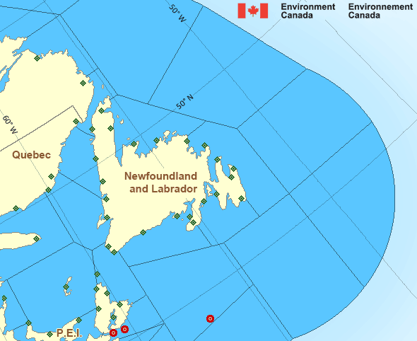
Legend:
 Buoy
Buoy  Land Station
 Ice Conditions
Ice Forecasts
Issued 10:00 AM EDT 1 July 2025 Today Tonight and WednesdayIce Edge
Ice edge estimated from Labrador near 5356N 5708W to 5425N 5616W to6003N 6023W to 6102N 6201W to 6200N 6008W then northeastward. Sea
ice west of the ice edge.
Ice Coverage
Bergy water.
Iceberg Bulletin
Issued 2:30 PM EDT 1 July 2025Iceberg Limit
Iceberg limit at 0000 UTC 2 Jul estimated from Newfoundland near4649N 5308W to 4620N 4400W to 4905N 4315W to 5115N 4620W to 5745N
5405W to 5710N 5100W then eastward.
Iceberg Count
More than 100 icebergs.Warnings
No watches or warnings in effect.
Synopsis
Technical Marine Synopsis
Issued 9:30 PM NDT 1 July 2025 Tonight and Wednesday At 9:30 p.m. NDT tonight ridge located on a line northwest-southeastover Belle Isle Bank.
By 9:30 a.m. NDT Wednesday departing ridge located east of
Labrador Sea.
At 9:30 p.m. NDT tonight low 983 mb located near Ungava Bay.
By 9:30 p.m. NDT Wednesday low 988 mb located over Labrador Sea.
Atlantic - Newfoundland Area
Another Region
- Date modified: