
South Labrador Coast
Forecast
Marine Forecast
Issued 04:00 AM NDT 09 May 2025
Today Tonight and Saturday.
Wind light increasing to southwest 15 knots early this morning then backing to south 15 to 20 this afternoon. Wind south 15 to 20 tonight and Saturday.
Temperatures near zero.
Waves
Issued 06:00 PM NDT 08 May 2025
Tonight and Friday.
Outside the ice edge seas 1 to 2 metres.
Extended Forecast
Issued 04:00 AM NDT 09 May 2025
Sunday
Wind south 15 to 20 knots becoming north 15 to
20 in the morning then increasing to north 25 to 35 in the afternoon.
Monday
Wind northwest 45 to 55 knots.
Tuesday
Wind northwest 35 to 45 knots.
Ice Forecast
Issued 10:00 AM EDT 8 May 2025 Today Tonight and Friday 3 tenths first-year ice including a trace of old ice. Consolidated rotten first-year ice along parts of the coast.
Stay connected
 ATOM
ATOMWeather Conditions
Zoom-in to make a selection
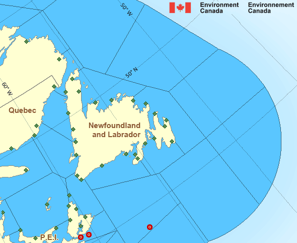
Legend:
 Buoy
Buoy  Land Station
 Ice Conditions
Ice Forecasts
Issued 10:00 AM EDT 8 May 2025 Today Tonight and FridayIce Edge
Ice edge estimated from Newfoundland near 4924N 5347W to 5212N 5317W to 5539N 5450W to 5713N 5722W to 5954N 5913W to 6200N 5759W then northeastward. Sea ice west of the ice edge.Ice Coverage
3 tenths first-year ice including a trace of old ice. Consolidated rotten first-year ice along parts of the coast.
Iceberg Bulletin
Issued 2:30 PM EDT 8 May 2025Iceberg Limit
Iceberg limit at 0000 UTC 9 May estimated from Newfoundland near 4723N 5503W to 4230N 5105W to 4135N 4720W to 4900N 4045W to 5320N 4815W to 5915N 5605W to 5950N 5415W to 5830N 4530W then eastward.Iceberg Count
51 to 100 icebergs.Warnings
No watches or warnings in effect.
Synopsis
Technical Marine Synopsis
Issued 4:00 AM NDT 9 May 2025 Today Tonight and Saturday At 4:00 a.m. NDT today ridge located on a line east-west over theSouth Labrador Coast.
By 9:30 a.m. NDT today departing ridge located on a line east-west
over Belle Isle Bank.
At 4:00 a.m. NDT today trough located near Baffin Island.
By 9:30 p.m. NDT tonight departing trough located over the coast
of Greenland.
At 4:00 a.m. NDT Saturday trough located over Ungava Bay.
By 4:00 a.m. NDT Sunday trough located over the East Labrador Sea.
Marine Weather Statement
Issued 3:41 AM NDT 9 May 2025 A trough of low pressure will pass north of the marine districttoday. Strong to gale force southwesterlies will continue over
northern waters today as the trough passes.
Marine interests are advised that gale warnings are in effect for
North Labrador Coast and Northwest Labrador Sea.
Marine interests are also advised that a freezing spray warning is in
effect for Northwest Labrador Sea.
Atlantic - Newfoundland Area
- Anticosti - eastern half
- Anticosti - western half
- Banquereau - northwestern half
- Banquereau - southeastern half
- Belle Isle Bank - northern half
- Belle Isle Bank - southern half
- Bras d'Or Lakes
- Cabot Strait - northern half
- Cabot Strait - southern half
- Chaleur - Miscou - eastern half
- Chaleur - Miscou - western half
- Eastern Shore - eastern half
- East Coast - Cape St. Francis and south
- East Coast - north of Cape St. Francis
- Fourchu
- Funk Island Bank
- Gulf - Magdalen - eastern half
- Gulf - Magdalen - western half
- Gulf - Port au Port - northwestern half
- Gulf - Port au Port - southeastern half
- Lake Melville
- Laurentian Fan
- Mid Labrador Coast
- Northeast Coast - Cape St. John and south
- Northeast Coast - north of Cape St. John
- Northeast Gulf
- Northern Grand Banks
- Northumberland Strait - eastern half
- Northumberland Strait - western half
- Sable - eastern half
- Southeastern Grand Banks
- Southwestern Grand Banks
- Southwest Coast
- South Coast
- South Labrador Coast
- South Labrador Sea
- Strait of Belle Isle - eastern half
- Strait of Belle Isle - western half
Another Region
- Date modified: