
Fourchu
Forecast
Marine Forecast
Issued 08:00 PM ADT 31 October 2024
Tonight and Friday.
Strong wind warning in effect.
Wind southwest 15 knots increasing to southwest 20 Friday morning.
Showers Friday evening. Fog patches dissipating after midnight.
Waves
Issued 05:00 PM ADT 31 October 2024
Tonight and Friday.
Seas 2 to 3 metres subsiding to 1 to 2 this evening then building
to 2 to 3 Friday evening.
Extended Forecast
Issued 03:30 PM ADT 31 October 2024
Saturday
Wind north 25 knots diminishing to north 15
in the afternoon.
Sunday
Wind northwest 15 knots.
Monday
Wind northwest 20 knots diminishing to
light.
Stay connected
 ATOM
ATOMWeather Conditions
Zoom-in to make a selection
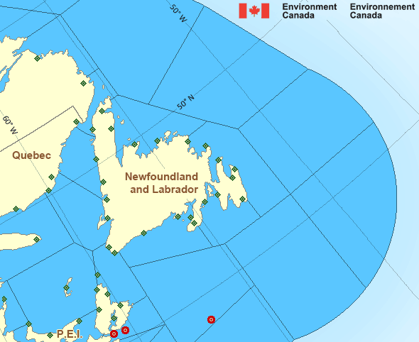
Legend:
 Buoy
Buoy  Land Station
 Ice Conditions
Ice Forecasts
Issued 10:00 AM EDT 5 May 2024 Forecasts have ended for the season.Iceberg Bulletin
Issued 2:30 PM EDT 31 October 2024Iceberg Limit
Iceberg limit at 0000 UTC 1 Nov estimated from the Labrador coastnear 5240N 5549W to 5330N 5415W to 5845N 5645W to 6000N 5330W to
5905N 4720W then eastwards.
Iceberg Count
No confirmed icebergs.Warnings
Warnings (In effect)
Strong wind warning in effect
Fourchu
Issued 8:00 PM ADT 31 October 2024'Strong' winds of 20 to 33 knots are occurring or expected to occur in this marine area. Please refer to the latest marine forecasts for further details and continue to monitor the situation through Canadian Coast Guard radio or Weatheradio stations.
Synopsis
Technical Marine Synopsis
Issued 8:00 PM ADT 31 October 2024 Tonight and Friday At 8:00 p.m. ADT tonight trough located from the St. LawrenceRiver to the Gulf of St. Lawrence.
By 10:00 a.m. ADT Friday trough located from New Brunswick to
Newfoundland.
At 8:00 p.m. ADT Friday trough located from the Gulf of Maine
to Newfoundland.
Marine Weather Statement
Issued 9:51 AM ADT 31 October 2024 Marine interests are advised that gale warnings have ended.
Atlantic - Newfoundland Area
- Anticosti - northwestern half
- Anticosti - southeastern half
- Banquereau
- Belle Isle Bank
- Bras d'Or Lakes
- Cabot Strait
- Chaleur - Miscou
- Eastern Shore - eastern half
- East Coast - Cape St. Francis and south
- East Coast - north of Cape St. Francis
- Fourchu
- Funk Island Bank
- Gulf - Magdalen
- Gulf - Port au Port
- Lake Melville
Another Region
Features
WeatherCAN

Download and use the WeatherCAN app on your mobile device
- Date modified: