
Cabot Strait
Forecast
Marine Forecast
Issued 08:00 PM ADT 01 July 2025
Tonight and Wednesday.
Strong wind warning in effect.
Wind south 20 knots diminishing to southwest 15 early Wednesday morning and to light Wednesday evening.
Scattered showers overnight and Wednesday morning with a risk of thunderstorms. Fog patches.
Waves
Issued 05:00 PM ADT 01 July 2025
Tonight and Wednesday.
Seas 1 to 2 metres.
Extended Forecast
Issued 03:30 PM ADT 01 July 2025
Thursday
Wind variable 10 to 15 knots.
Friday
Wind light.
Saturday
Wind variable 10 to 15 knots becoming
southwest 15.
Stay connected
 ATOM
ATOMWeather Conditions
Zoom-in to make a selection
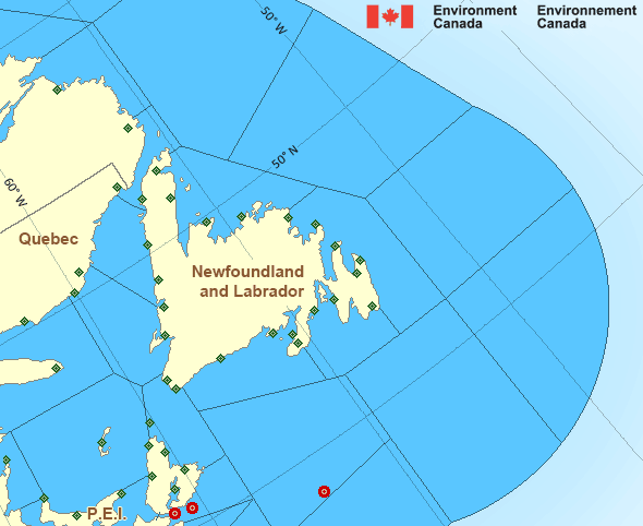
Legend:
 Buoy
Buoy  Land Station
 Ice Conditions
Ice Forecasts
Issued 10:00 AM EDT 26 May 2025 Forecasts have ended for the season.Iceberg Bulletin
Issued 2:30 PM EDT 1 July 2025Iceberg Limit
Iceberg limit at 0000 UTC 2 Jul estimated from Newfoundland near4649N 5308W to 4620N 4400W to 4905N 4315W to 5115N 4620W to 5745N
5405W to 5710N 5100W then eastward.
Iceberg Count
No confirmed icebergs.Warnings
Warnings (In effect)
Strong wind warning in effect
Cabot Strait
Issued 8:00 PM ADT 01 July 2025'Strong' winds of 20 to 33 knots are occurring or expected to occur in this marine area. Please refer to the latest marine forecasts for further details and continue to monitor the situation through Canadian Coast Guard radio or Weatheradio stations.
Synopsis
Technical Marine Synopsis
Issued 8:00 PM ADT 1 July 2025 Tonight and Wednesday At 8:00 p.m. ADT tonight trough located from Quebec to New England.By 10:00 a.m. ADT Wednesday weakening trough located over the
Maritimes.
At 3:30 p.m. ADT Wednesday dissipating trough located over Nova
Scotia.
Atlantic - Newfoundland Area
Another Region
- Date modified: