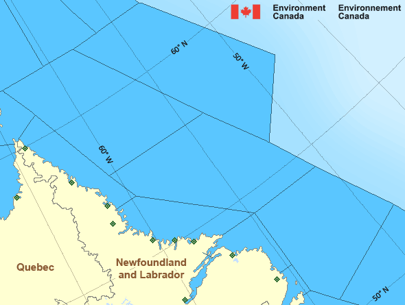
Strait of Belle Isle - western half
Forecast
Marine Forecast
Issued 03:00 AM NDT 16 April 2024
Today Tonight and Wednesday.
Wind variable 10 to 15 knots increasing to northeast 15 to 20 Wednesday morning.
Showers ending this morning. Fog patches dissipating overnight.
Waves
Issued 06:00 AM NDT 16 April 2024
Today Tonight and Wednesday.
Seas 1 metre or less.
Extended Forecast
Issued 03:00 AM NDT 16 April 2024
Thursday
Wind north 25 to 35 knots.
Friday
Wind north 25 to 35 knots becoming northeast
25.
Saturday
Wind south 15 to 20 knots.
Ice Forecast
Issued 10:00 AM EDT 15 April 2024 Today Tonight and Tuesday Bergy water except 4 tenths first-year ice in the eastern section.
Consolidated first-year ice along parts of the coasts.
Stay connected
Weather Conditions
Zoom-in to make a selection

Legend:
Ice Conditions
Ice Forecasts
Issued 10:00 AM EDT 15 April 2024 Today Tonight and TuesdayIce Edge
First ice edge estimated from Newfoundland near 4934N 5429W to 5249N5157W to 5539N 5228W to 5659N 5713W to 5945N 5900W to 6200N 5615W
then northeastward. Sea ice west of the ice edge.
Second ice edge estimated from 6200N 5350W to 6038N 5426W to 5849N
5033W to 5830N 4859W then eastward. Sea ice east of the ice edge.
Ice Coverage
Bergy water except 4 tenths first-year ice in the eastern section.
Consolidated first-year ice along parts of the coasts.
Iceberg Bulletin
Issued 3:32 PM EDT 15 April 2024Iceberg Limit
Iceberg limit at 0000 UTC 16 Apr estimated from Newfoundland near4729N 5245W to 4805N 4945W to 5100N 4800W to 5445N 4940W to 5620N
4915W then eastwards.
Western iceberg limit at 0000 UTC 16 Apr estimated from Quebec near
5035N 5955W to Newfoundland near 4920N 5750W.
Iceberg Count
51 to 100 icebergs.Warnings
No watches or warnings in effect.
Synopsis
Technical Marine Synopsis
Issued 3:00 AM NDT 16 April 2024 Today Tonight and Wednesday At 3:00 a.m. NDT today trough located over Newfoundland.By 8:00 p.m. NDT tonight departing trough located north of Belle
Isle Bank.
At 10:00 a.m. NDT today low 1014 mb located south of Nova Scotia.
By 10:00 a.m. NDT Wednesday low 1007 mb located over the Northeast
Coast of Newfoundland.
Marine Weather Statement
Issued 2:55 AM NDT 16 April 2024 A low pressure system will approach the district from the southwesttoday to lie over the Northeast Coast of Newfoundland by Wednesday
morning. Strong to gale force northerlies will develop over northern
waters late on Wednesday.
Marine interests are advised that gale warnings are in effect for
Strait of Belle Isle - eastern half, Northeast Coast and Belle Isle
Bank.
Atlantic - Labrador Area
- Belle Isle Bank
- Central Brevoort - northern half
- Central Brevoort - southern half
- East Brevoort - southern half
- East Labrador Sea
- Funk Island Bank - northwestern half
- Funk Island Bank - southeastern half
- Lake Melville
- Mid Labrador Coast - Hopedale and south
- Mid Labrador Coast - north of Hopedale
- Northeast Coast - Cape St. John and south
- Northeast Coast - north of Cape St. John
- Northwest Labrador Sea - northwestern half
- Northwest Labrador Sea - southeastern half
- North Labrador Coast - north of Saglek
- North Labrador Coast - Saglek and south
- Resolution - eastern half
- South Labrador Coast
- South Labrador Sea
- Strait of Belle Isle - eastern half
- Strait of Belle Isle - western half
- Ungava - eastern half
- West Brevoort - northern half
- West Brevoort - southern half
Another Region
- Date modified:
 ATOM
ATOM