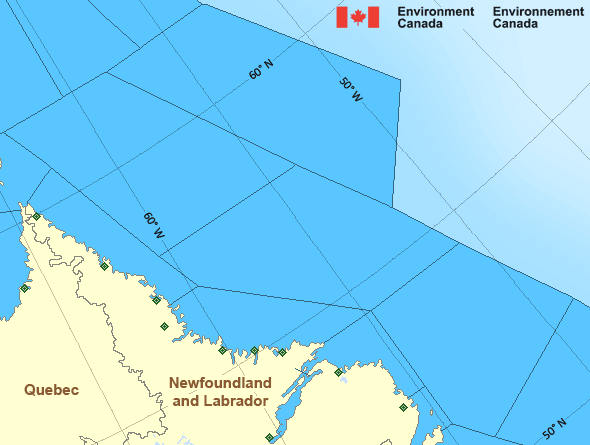
West Brevoort - southern half
Forecast
Marine Forecast
Issued 05:00 PM EDT 20 May 2024
Tonight and Tuesday.
Wind light tonight and Tuesday.
Low tonight minus 6. High Tuesday minus 1.
Waves
Issued 05:00 PM EDT 20 May 2024
Tonight and Tuesday.
Mainly ice covered.
Extended Forecast
Issued 05:00 PM EDT 20 May 2024
Wednesday
Wind light.
Thursday
Wind light.
Friday
Wind light.
Ice Forecast
Issued 11:00 AM EDT 20 May 2024 Today Tonight and Tuesday 5 tenths first-year ice including a trace of old ice except 9 tenths
first-year ice including 1 tenth old ice in the western section.
Consolidated first-year ice along parts of the coast.
Stay connected
Weather Conditions
Zoom-in to make a selection

Legend:
Ice Conditions
Ice Forecasts
Issued 11:00 AM EDT 20 May 2024 Today Tonight and TuesdayIce Edge
Ice edge estimated from 6200N 6045W to 6245N 5900W to 6345N 5756Wthen northeastward. Sea ice northwest of the ice edge.
Ice Coverage
5 tenths first-year ice including a trace of old ice except 9 tenths
first-year ice including 1 tenth old ice in the western section.
Consolidated first-year ice along parts of the coast.
Warnings
No watches or warnings in effect.
Synopsis
Technical Marine Synopsis
Issued 4:45 PM EDT 20 May 2024 Tonight and Tuesday At 0000 UTC Tuesday quasi-stationary trough located on a linenorth-south over eastern Davis Strait.
At 0000 UTC Tuesday high 1032 mb located near Boothia Peninsula.
By 0000 UTC Wednesday high 1030 mb located near Baker Lake.
At 0000 UTC Tuesday dissipating low 1005 mb located over northern
Quebec.
Atlantic - Labrador Area
Another Region
- Date modified:
 ATOM
ATOM