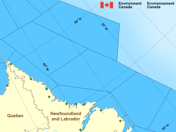
Lake Melville
Forecast
Marine Forecast
Issued 04:00 AM NDT 13 May 2024
Today Tonight and Tuesday.
Wind light becoming northeast 15 knots Tuesday afternoon.
Extended Forecast
Issued 04:00 AM NDT 13 May 2024
Wednesday
Wind northeast 15 to 20 knots.
Thursday
Wind northeast 15 knots.
Friday
Wind northeast 15 knots.
Ice Forecast
Issued 10:00 AM EDT 12 May 2024 Today Tonight and Monday 4 tenths first-year ice except consolidated rotten first-year ice in
parts of the eastern section.
Stay connected
Weather Conditions
Zoom-in to make a selection

Legend:
Ice Conditions
Ice Forecasts
Issued 10:00 AM EDT 12 May 2024 Today Tonight and MondayIce Edge
Ice edge estimated from Labrador near 5213N 5537W to 5320N 5441W to5512N 5500W to 5652N 5757W to 6020N 5935W to 6200N 5918W then
northeastward. Sea ice north then west of the ice edge.
Ice Coverage
4 tenths first-year ice except consolidated rotten first-year ice in
parts of the eastern section.
Warnings
No watches or warnings in effect.
Synopsis
Technical Marine Synopsis
Issued 4:00 AM NDT 13 May 2024 Today Tonight and Tuesday At 4:00 a.m. NDT today quasi-stationary ridge located on a linenortheast-southwest over the South Labrador Sea.
At 4:00 a.m. NDT today low 1002 mb located over the eastern Strait
of Belle Isle.
By 9:30 p.m. NDT tonight departing low 1012 mb located southeast
of Labrador Sea.
At 4:00 a.m. NDT today quasi-stationary trough located on a line
northeast-southwest over the Northwest Labrador Sea.
Atlantic - Labrador Area
Another Region
- Date modified:
 ATOM
ATOM