
Funk Island Bank
Forecast
Marine Forecast
Issued 03:00 AM NDT 26 October 2026
Today Tonight and Tuesday.
Wind southwest 25 knots veering to west 20 overnight then to northwest 25 Tuesday morning.
Showers this afternoon tonight and Tuesday.
Waves
Issued 06:00 PM NDT 25 October 2026
Tonight and Monday.
Seas 2 to 3 metres except 3 to 4 over eastern sections early this
evening.
Extended Forecast
Issued 03:00 AM NDT 26 October 2026
Wednesday
Wind northwest 25 to 35 knots.
Thursday
Wind northwest 25 to 35 knots diminishing to
west 20.
Friday
Wind southwest 15 to 20 knots.
Stay connected
 ATOM
Weather Conditions
Zoom-in to make a selection
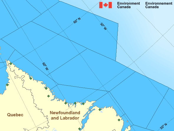
Legend:
 Buoy
 Land Station
Ice Conditions
Ice Forecasts
Funk Island Bank
Issued 10:00 AM EDT 7 August 2026 Forecasts have ended for the season.Ice Forecasts
Southeast Labrador Sea
Issued 10:00 AM EDT 7 August 2026 Forecasts have ended for the season.Iceberg Bulletin
Funk Island Bank
Issued 2:30 PM EDT 25 October 2026Iceberg Limit
Iceberg limit at 0000 UTC 26 Oct estimated from Newfoundland near5030N 5630W to 5030N 5500W to 5200N 5245W to 5500N 5215W to 6000N
5800W to 6125N 5445W to 5855N 4515W then eastward.
Iceberg Count
No confirmed icebergs.Iceberg Bulletin
Southeast Labrador Sea
Issued 2:30 PM EDT 25 October 2026Iceberg Limit
Iceberg limit at 0000 UTC 26 Oct estimated from Newfoundland near5030N 5630W to 5030N 5500W to 5200N 5245W to 5500N 5215W to 6000N
5800W to 6125N 5445W to 5855N 4515W then eastward.
Iceberg Count
Forecasts available to mariners upon request.Warnings
No watches or warnings in effect.
Synopsis
Technical Marine Synopsis
Issued 3:00 AM NDT 26 October 2026 Today Tonight and Tuesday At 3:00 a.m. NDT today intensifying low 983 mb located overnorthwestern Labrador Sea.
By 3:00 a.m. NDT Tuesday low 972 mb located over eastern Labrador
Sea.
At 3:00 a.m. NDT today trough located over Labrador.
By 3:00 a.m. NDT Tuesday trough located on a line
northeast-southwest over eastern Newfoundland.
At 3:00 a.m. NDT Tuesday ridge located over northern Ontario.
By 8:00 p.m. NDT Tuesday ridge located over New Brunswick.
Marine Weather Statement
Issued 2:47 AM NDT 26 October 2026 An intensifying low pressure system over the Labrador Sea will moveto lie over the East Labrador Sea today. As the low moves eastward
today, strong to gale force southwesterlies will slowly diminish.
On Tuesday, the low will begin to move southward across the East
Labrador Sea and a building ridge of high pressure over Northern
Ontario will move to lie over New England. Strong to gale force
northwesterlies are expected to develop over most waters late in the
day on Tuesday between these two features.
Marine interests are advised that gale warnings are in effect for
Strait of Belle Isle, Northeast Gulf, and Belle Isle Bank.
Atlantic - Labrador Area
Another Region
Features
View yesterday's weather data

Check out weather conditions from the previous day on each location page.
- Date modified: