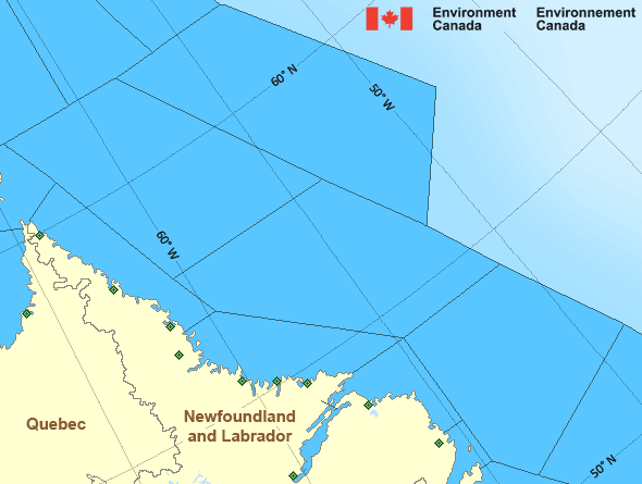
Central Brevoort - southern half
Forecast
Marine Forecast
Issued 05:00 AM EDT 02 July 2025
Today Tonight and Thursday.
Wind light becoming southwest 15 knots Thursday evening.
Fog patches forming near midnight and dissipating near noon Thursday.
Waves
Issued 05:00 AM EDT 02 July 2025
Today Tonight and Thursday.
Seas 1 metre or less.
Extended Forecast
Issued 05:00 AM EDT 02 July 2025
Friday
Wind southwest 15 knots diminishing to light in
the morning.
Saturday
Wind light increasing to southeast 35 knots
late in the day.
Sunday
Wind southeast 35 knots diminishing to
southeast 30.
Ice Forecast
Issued 11:00 AM EDT 1 July 2025 Today Tonight and Wednesday Bergy water except 8 tenths first-year ice including a trace of old
ice in the extreme northwestern section.
Stay connected
Weather Conditions
Zoom-in to make a selection

Legend:
Ice Conditions
Ice Forecasts
Issued 11:00 AM EDT 1 July 2025 Today Tonight and WednesdayIce Edge
Ice edge estimated from 6200N 6008W to 6446N 5749W thennortheastward. Sea ice northwest of the ice edge.
Ice Coverage
Bergy water except 8 tenths first-year ice including a trace of old
ice in the extreme northwestern section.
Warnings
No watches or warnings in effect.
Synopsis
Technical Marine Synopsis
Issued 4:45 AM EDT 2 July 2025 Today Tonight and Thursday At 1200 UTC Wednesday departing low 986 mb located near Ungava Bay.At 1200 UTC Wednesday ridge located on a line northeast-southwest
over northern Hudson Bay.
By 0000 UTC Friday ridge located on a line north-south over eastern
Hudson Bay.
At 1200 UTC Wednesday low 995 mb located over Boothia Peninsula.
By 0000 UTC Friday low 993 mb located over eastern Baffin Bay.
By 0000 UTC Friday trough located on a line northeast-southwest
over western Hudson Bay.
Atlantic - Labrador Area
Another Region
- Date modified:
 ATOM
ATOM