
Pointe à Michel to Pointe-des-Monts
Forecast
Marine Forecast
Issued 03:00 PM EST 05 November 2026
Tonight and Friday.
Wind light becoming southwest 15 knots late overnight then becoming north 15 near noon Friday.
Scattered showers and fog ending near noon Friday.
Strong wind warning program has ended for the season.
Waves
Issued 03:00 PM EST 05 November 2026
Tonight and Friday.
Seas 1 metre or less.
Extended Forecast
Issued 06:00 AM EST 05 November 2026
Saturday
Wind northeast 15 knots increasing to
northeast 15 to 25 in the morning.
Sunday
Wind northeast 15 to 25 knots becoming
southwest 15.
Monday
Wind light increasing to southwest 10 to 20
knots.
Stay connected
 ATOM
Weather Conditions
Zoom-in to make a selection
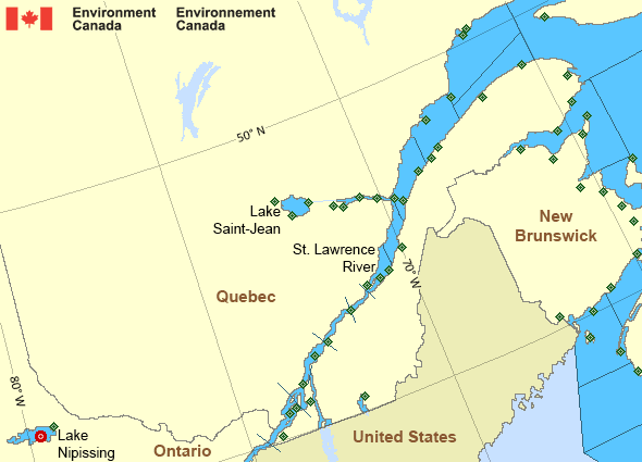
Legend:
 Buoy
 Land Station
Ice Conditions
Ice Forecasts
Issued 10:00 AM EDT 19 May 2026 Forecasts have ended for the season.Warnings
Advisories (In effect)
Marine weather advisory in effect
Pointe à Michel to Pointe-des-Monts
Issued 5:25 PM EST 05 November 2026 Dense fog greatly reducing visibilities will persist until noon on Friday.Additional information:
The fog will dissipate on Friday as a cold front passes through. The winds will veer to the northwest and drive away the humid air mass currently in place.
Synopsis
Technical Marine Synopsis
Issued 3:00 PM EST 5 November 2026 Tonight and Friday At 3:00 p.m. EST today cold front located over western Quebec.By 7:00 p.m. EST Friday cold front located over the Strait of
Belle Isle.
At 3:00 p.m. EST today high 1024 mb located over northwestern
Ontario.
By 7:00 p.m. EST Friday high 1028 mb located over northern Quebec.
At midnight EST tonight low 1006 mb located over Lake Huron.
By 7:00 p.m. EST Friday low 1014 mb located over southern Ontario.
St. Lawrence - St. Lawrence River Area
- Anticosti
- Beauport to L'Isle-aux-Coudres
- Browns Bank
- Chaleur - Miscou - eastern half
- Chaleur - Miscou - western half
- Cornwall to Montréal
- Donnacona to Beauport
- Fundy
- Grand Manan
- Gulf - Magdalen
- Kingston to Cornwall
- Lake Memphrémagog - northern half
- Lake Nipissing
- Lake Saint-Jean
- Lurcher
- L'Isle-aux-Coudres to Tadoussac
- Montréal to Trois-Rivières
- Northumberland Strait
- Pointe à Michel to Pointe-des-Monts
- Pointe-des-Monts to Anticosti - northern half
- Pointe-des-Monts to Anticosti - southern half
- Richelieu River and Northern Lake Champlain
- Saguenay to Tadoussac
- Tadoussac to Pointe à Michel
- Trois-Rivières to Donnacona
Another Region
Features
View yesterday's weather data

Check out weather conditions from the previous day using the Past Data link on each location page.
- Date modified: