Eastern Lake Ontario
Forecast
Marine Forecast
Issued 06:30 PM EDT 01 July 2025
Tonight and Wednesday.
Wind southwest 10 knots veering to west 10 this evening then increasing to west 15 near noon Wednesday.
Scattered showers this evening with a risk of thunderstorms. Scattered showers Wednesday late in the day with a risk of thunderstorms.
Waves
Issued 06:30 PM EDT 01 July 2025
Tonight and Wednesday.
Waves 0.5 to 1 metre subsiding to 0.5 or less near midnight then
building to 0.5 to 1 Wednesday afternoon.
Extended Forecast
Issued 06:30 PM EDT 01 July 2025
Thursday
Wind light becoming west 15 knots in the
morning.
Friday
Wind light.
Saturday
Wind light.
Stay connected
Weather Conditions
Zoom-in to make a selection

Legend:
Ice Conditions
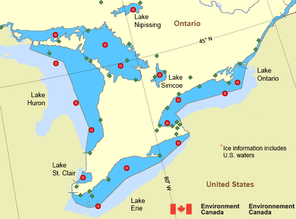
*Ice Forecast and Warnings also apply to U.S. waters
Ice Forecasts
Issued 12:00 PM EDT 16 May 2025 Forecasts have ended for the season.Warnings
No watches or warnings in effect.
Synopsis
Technical Marine Synopsis
Issued 6:30 PM EDT 1 July 2025 Tonight and Wednesday At 6:30 p.m. EDT tonight departing cold front located on a linenortheast-southwest over Lake Ontario.
At 6:30 p.m. EDT tonight ridge located on a line northwest-southeast
over Minnesota.
By 6:30 p.m. EDT Wednesday ridge located on a line
northwest-southeast over Lake of the Woods.
At 6:30 p.m. EDT tonight trough located on a line north-south over
James Bay.
By 6:30 p.m. EDT Wednesday trough located on a line
northeast-southwest over Quebec.
Great Lakes - Lake Erie and Lake Ontario Area
Another Region
- Date modified:
 ATOM
ATOM