
Eastern Lake Ontario
Forecast
Marine Forecast
Issued 10:30 AM EDT 18 April 2024
Today Tonight and Friday.
Wind southwest 15 knots diminishing to southwest 10 early this evening then increasing to southeast 15 near midnight. Wind increasing to southeast 20 early Friday morning then becoming west 20 Friday afternoon.
Scattered showers ending this evening. Showers Friday.
Strong wind warning program has ended for the season.
Waves
Issued 10:30 AM EDT 18 April 2024
Today Tonight and Friday.
Waves 0.5 metres building to 0.5 to 1 late overnight and to 1 to
1.5 Friday morning.
Extended Forecast
Issued 03:00 AM EDT 18 April 2024
Saturday
Wind west 15 knots increasing to west 20 in
the morning.
Sunday
Wind west 15 knots.
Monday
Wind west 15 knots diminishing to
light.
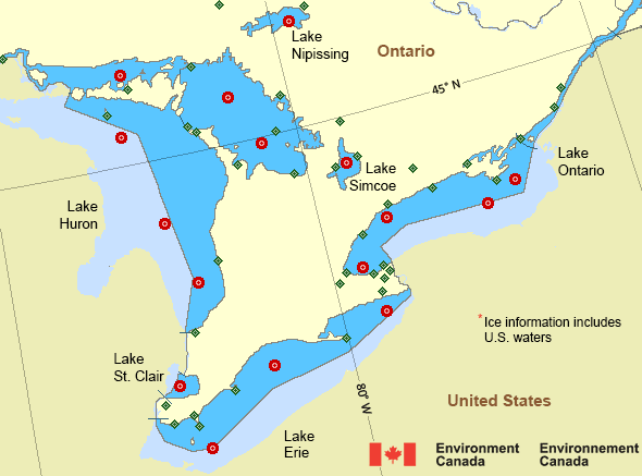
Ice Forecast*
Issued 12:00 PM EDT 18 April 2024 Today Tonight and Friday Ice free.
*Ice Forecast and Warnings also apply to U.S. waters
Stay connected
 ATOM
ATOMWeather Conditions
Zoom-in to make a selection
Legend:
 Buoy
Buoy  Land Station
 Ice Conditions
*Ice Forecast and Warnings also apply to U.S. waters
Ice Forecasts
Issued 12:00 PM EDT 18 April 2024 Today Tonight and FridayIce Coverage
Ice free.
Warnings
No watches or warnings in effect.
Synopsis
Technical Marine Synopsis
Issued 10:30 AM EDT 18 April 2024 Today Tonight and Friday At 10:30 a.m. EDT today departing ridge located on a linenorth-south over eastern Quebec.
At 10:30 a.m. EDT today low 1005 mb located over southeastern
Manitoba.
By 10:30 a.m. EDT Friday low 1004 mb located over James Bay.
By 10:30 a.m. EDT Friday trough from low located on a line
north-south over southern Ontario.
Great Lakes - Lake Erie and Lake Ontario Area
Another Region
- Date modified: