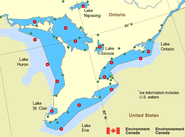
Eastern Lake Ontario
Forecast
Marine Forecast
Issued 10:41 AM EDT 02 May 2025
Today Tonight and Saturday.
Wind southwest 15 knots diminishing to southwest 10 this afternoon then veering to northwest 10 near midnight. Wind becoming light early Saturday morning.
Fog patches dissipating near midnight.
Waves
Issued 10:39 AM EDT 02 May 2025
Today Tonight and Saturday.
Waves 0.5 to 1 metre subsiding to 0.5 or less early this
evening.
Extended Forecast
Issued 03:00 AM EDT 02 May 2025
Sunday
Wind light.
Monday
Wind northeast 20 knots veering to southeast 15
late in the day.
Tuesday
Wind southeast 15 knots diminishing to
light.
Ice Forecast*
Issued 12:00 PM EDT 2 May 2025 Today Tonight and Saturday Ice free.
*Ice Forecast and Warnings also apply to U.S. waters
Stay connected
Weather Conditions
Zoom-in to make a selection

Legend:
Ice Conditions
*Ice Forecast and Warnings also apply to U.S. waters
Ice Forecasts
Issued 12:00 PM EDT 2 May 2025 Today Tonight and SaturdayIce Coverage
Ice free.
Warnings
No watches or warnings in effect.
Synopsis
Technical Marine Synopsis
Issued 10:30 AM EDT 2 May 2025 Today Tonight and Saturday At 10:30 a.m. EDT today low 1000 mb located over western Quebec.By 10:30 a.m. EDT Saturday departing low 1003 mb located over
Labrador.
At 10:30 a.m. EDT today ridge located on a line northeast-southwest
over southern Manitoba.
By 10:30 a.m. EDT Saturday ridge located on a line east-west over
Lake Superior.
Great Lakes - Lake Erie and Lake Ontario Area
Another Region
- Date modified:
 ATOM
ATOM