
Cornwall to Montréal
Forecast
Marine Forecast
Issued 03:00 PM EDT 01 July 2025
Tonight and Wednesday.
Strong wind warning in effect.
Wind southwesterly 15 to 25 knots diminishing to light early this evening then increasing to westerly 15 to 20 early Wednesday morning. Wind diminishing to southwest 10 to 15 Wednesday evening.
Showers ending this evening with a risk of thunderstorms.
Extended Forecast
Issued 06:00 PM EDT 01 July 2025
Thursday
Wind west 10 to 20 knots.
Friday
Wind west 15 knots.
Saturday
Wind light.
Stay connected
 ATOM
ATOMWeather Conditions
Zoom-in to make a selection
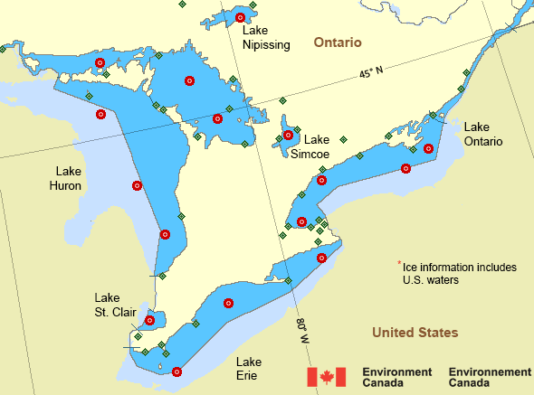
Legend:
 Buoy
Buoy  Land Station
 Ice Conditions
There is no ice forecast issued for this area.
Warnings
Warnings (In effect)
Strong wind warning in effect
Cornwall to Montréal
Issued 3:00 PM EDT 01 July 2025'Strong' winds of 20 to 33 knots are occurring or expected to occur in this marine area. Please refer to the latest marine forecasts for further details and continue to monitor the situation through Canadian Coast Guard radio or Weatheradio stations.
Watches (In effect)
Squall watch in effect
Cornwall to Montréal
Issued 9:28 PM EDT 01 July 2025 Conditions are favourable for the development of squalls with wind gusts up to 35 knots.Please continue to monitor alerts and forecasts issued by Environment Canada. For more information monitor Canadian Coast Guard radio or Weatheradio stations.
Synopsis
Technical Marine Synopsis
Issued 3:00 PM EDT 1 July 2025 Tonight and Wednesday At 3:00 p.m. EDT today low 991 mb located northeast of James Bay.By 8:00 p.m. EDT Wednesday low 988 mb located over Labrador Sea.
At 3:00 p.m. EDT today trough located on a line northeast-southwest
over western Quebec.
By 8:00 p.m. EDT Wednesday departing trough located on a line
northeast-southwest over the Quebec Lower North Shore.
Great Lakes - Lake Erie and Lake Ontario Area
Another Region
- Date modified: