
Cornwall to Montréal
Forecast
Marine Forecast
Issued 06:13 AM EDT 30 April 2025
Today Tonight and Thursday.
Wind west 15 to 25 knots becoming northwest 15 near noon then diminishing to light this evening. Wind becoming northeast 15 Thursday afternoon.
Strong wind warning program has ended for the season.
Extended Forecast
Issued 06:00 AM EDT 30 April 2025
Friday
Wind easterly 20 to 30 knots becoming southwest
25 to 35 late in the day.
Saturday
Wind southwest 15 to 25 knots diminishing to
light.
Sunday
Wind northwest 15 knots.
Stay connected
 ATOM
ATOMWeather Conditions
Zoom-in to make a selection
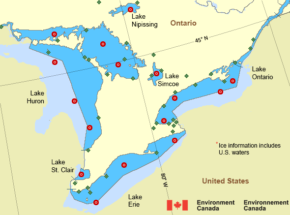
Legend:
 Buoy
Buoy  Land Station
 Ice Conditions
There is no ice forecast issued for this area.
Synopsis
Technical Marine Synopsis
Issued 3:00 AM EDT 30 April 2025 Today Tonight and Thursday At 3:00 a.m. EDT today low 992 mb located over northern SaguenayRiver.
By 8:00 p.m. EDT Thursday departing low 995 mb located off
Newfoundland.
At 3:00 a.m. EDT today high 1024 mb located over Lake Superior.
By 8:00 p.m. EDT tonight high 1021 mb located over northern
Sept-Îles.
At 11:00 a.m. EDT Thursday approaching low 1006 mb located near
Lake Michigan.
Great Lakes - Lake Erie and Lake Ontario Area
Another Region
- Date modified: