
Western Lake Ontario
Forecast
Marine Forecast
Issued 06:30 PM EDT 26 July 2024
Tonight and Saturday.
Wind west 10 knots becoming light this evening. Wind light Saturday.
Waves
Issued 06:30 PM EDT 26 July 2024
Tonight and Saturday.
Waves 0.5 metres or less.
Extended Forecast
Issued 06:30 PM EDT 26 July 2024
Sunday
Wind light.
Monday
Wind light.
Tuesday
Wind light becoming south 15 knots.
Stay connected
 ATOM
ATOMWeather Conditions
Zoom-in to make a selection
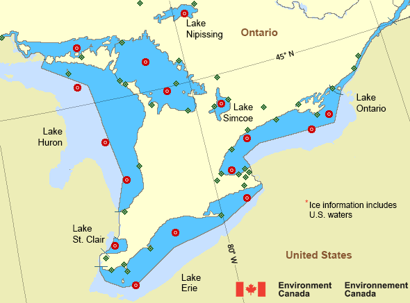
Legend:
 Buoy
Buoy  Land Station
 Ice Conditions
*Ice Forecast and Warnings also apply to U.S. waters
Ice Forecasts
Issued 12:00 PM EDT 27 April 2024 Forecasts have ended for the season.Warnings
No watches or warnings in effect.
Synopsis
Technical Marine Synopsis
Issued 6:30 PM EDT 26 July 2024 Tonight and Saturday At 6:30 p.m. EDT tonight high 1023 mb located over Lake Huron.By 6:30 p.m. EDT Saturday high 1020 mb located south of Lake
Ontario.
At 6:30 p.m. EDT tonight trough located on a line north-south over
southeastern Manitoba.
By 6:30 p.m. EDT Saturday trough located from James Bay to
Minnesota.
Great Lakes - Lake Huron Area
Another Region
Features
New Predicting and Alerting Coastal Flooding Program

Find out about coastal flooding coverage, forecasts and warnings in your region
- Date modified: