Northern Georgian Bay
Forecast
Marine Forecast
Issued 03:00 AM EST 20 January 2025
Today Tonight and Tuesday.
Wind northeast 15 knots diminishing to northeast 10 overnight then becoming light Tuesday evening.
Flurries. Visibility 1 mile or less in flurries.
Strong wind warning program has ended for the season.
Waves
Issued 03:00 AM EST 20 January 2025
Today Tonight and Tuesday.
Waves 0.5 to 1 metre subsiding to 0.5 or less Tuesday
morning.
Extended Forecast
Issued 03:00 AM EST 20 January 2025
Wednesday
Wind southwest 25 knots increasing to
southwest 30 in the afternoon.
Thursday
Wind southwest 20 knots.
Friday
Wind west 15 knots diminishing to
light.
Ice Forecast*
Issued 12:00 PM EST 19 January 2025 Today Tonight and Monday Open water except 9 tenths thin lake ice along parts of the shores.
Consolidated medium lake ice along parts of the shores and in Severn
Sound.
*Ice Forecast and Warnings also apply to U.S. waters
Stay connected
Weather Conditions
Zoom-in to make a selection
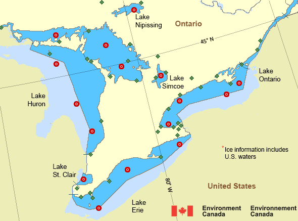
![Map of Great Lakes - Lake Huron marine weather areas Map of Great Lakes - Lake Huron marine weather areas](/data/marine/base_images/Huron_stations_e.gif)
Legend:
![buoy buoy](images/icon_buoy.gif)
![land station land station](images/icon_landStation.gif)
Ice Conditions
*Ice Forecast and Warnings also apply to U.S. waters
Ice Forecasts
Issued 12:00 PM EST 19 January 2025 Today Tonight and MondayIce Coverage
Open water except 9 tenths thin lake ice along parts of the shores.
Consolidated medium lake ice along parts of the shores and in Severn
Sound.
Warnings
No watches or warnings in effect.
Synopsis
Technical Marine Synopsis
Issued 3:00 AM EST 20 January 2025 Today Tonight and Tuesday At 3:00 a.m. EST today quasi-stationary ridge located on a lineeast-west over northeastern Ontario.
At 3:00 a.m. EST today trough located from Lake Superior to Lake
Ontario.
By 3:00 a.m. EST Tuesday trough located from Lake Superior to the
Bruce Peninsula then to Kingston.
Great Lakes - Lake Huron Area
Another Region
- Date modified: