
West Brevoort - southern half
Forecast
Marine Forecast
Issued 05:00 AM EDT 20 October 2026
Today Tonight and Wednesday.
Wind northwest 20 knots diminishing to northwest 15 late this evening and to light overnight. Wind light Wednesday.
Flurries.
Temperatures near minus 1.
Waves
Issued 05:00 AM EDT 20 October 2026
Today Tonight and Wednesday.
Seas 2 metres subsiding to 1 after midnight.
Extended Forecast
Issued 05:00 AM EDT 20 October 2026
Thursday
Wind northeast 25 knots backing to north 30
in the morning.
Friday
Wind north 15 to 20 knots becoming southwest
20.
Saturday
Wind south 15 knots increasing to north 25 to
30.
Ice Forecast
Issued 11:00 AM EDT 20 October 2026 Today Tonight and Wednesday Bergy water.
Stay connected
 ATOM
ATOMWeather Conditions
Zoom-in to make a selection
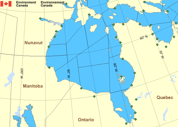
Legend:
 Buoy
Buoy  Land Station
 Ice Conditions
Ice Forecasts
Issued 11:00 AM EDT 20 October 2026 Today Tonight and WednesdayIce Edge
Ice edge estimated from Baffin Island near 7140N 7234W to 7256N7045W to 7424N 7122W then eastward. Sea ice west of the ice edge.
Ice Coverage
Bergy water.
Warnings
No watches or warnings in effect.
Synopsis
Technical Marine Synopsis
Issued 4:45 AM EDT 20 October 2026 Today Tonight and Wednesday At 1200 UTC Tuesday dissipating low 998 mb located at 70N 60W.At 1200 UTC Tuesday ridge from 1016 mb high located from 71N 76W
to 58N 72W.
By 0000 UTC Thursday ridge from 1022 mb high located from 70N 72W
to 54N 86W.
At 1200 UTC Tuesday low 1005 mb located at 68N 100W.
By 0000 UTC Thursday low 1003 mb located at 58N 68W.
Hudson - Hudson Bay Area
Another Region
- Date modified: