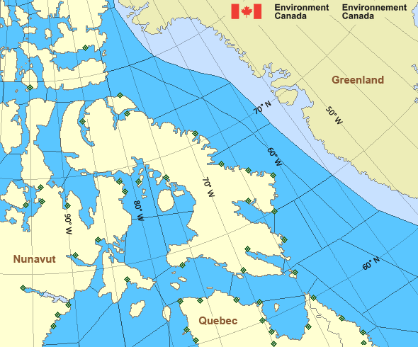
West Davis - northern half
Forecast
Issued 05:00 PM EDT 15 May 2024
Forecasts have ended for the season.
Stay connected
Weather Conditions
Zoom-in to make a selection

Legend:
Ice Conditions
Ice Forecasts
Issued 11:00 AM EDT 15 May 2024 Today Tonight and ThursdayIce Edge
Ice edge estimated from 6200N 5919W to 6325N 5758W thennortheastward. Sea ice northwest of the ice edge.
Ice Coverage
Forecasts available to mariners upon request.
Warnings
No watches or warnings in effect.
Synopsis
Technical Marine Synopsis
Issued 4:45 AM EST 16 December 2023 Forecasts are unavailable until further request.
Arctic - Eastern Arctic Area
- Admiralty
- Arviat - eastern half
- Arviat - western half
- Baker
- Barrow
- Boothia
- Byam
- Central Brevoort - northern half
- Central Brevoort - southern half
- Central - eastern half
- Central - western half
- Clarence - northern half
- Clarence - southern half
- Coats - northern half
- Coats - southern half
- Committee
- Cumberland
- East Baffin - northern half
- East Baffin - southern half
- East Brevoort
- East Clyde
- East Davis - northern half
- East Davis - southern half
- East Foxe
- East Labrador Sea
- Eureka - southern half
- Frobisher Bay
- Hassel
- Igloolik
- Jones - eastern half
- Jones - western half
- Kane - southern half
- Lancaster - eastern half
- Lancaster - western half
- Larsen
- Maclean
- Massey
- Maud
- McClintock
- Mid Labrador Coast
- Navy Board
- Northwest Labrador Sea
- North Labrador Coast
- Norwegian
- Nottingham - eastern half
- Nottingham - western half
- Peary
- Peel
- Pond
- Prince Charles
- Puvirnituq - northern half
- Puvirnituq - southern half
- Queens
- Rae
- Rankin - northern half
- Rankin - southern half
- Regent
- Resolution - eastern half
- Resolution - western half
- Roes Welcome - northern half
- Roes Welcome - southern half
- South Labrador Sea
- South Sverdrup
- South-central Hudson - eastern half
- St. Roch
- Ungava
- West Baffin - northern half
- West Baffin - southern half
- West Brevoort - northern half
- West Brevoort - southern half
- West Clyde - northern half
- West Clyde - southern half
- West Davis - northern half
- West Davis - southern half
- West Foxe
Another Region
- Date modified:
 ATOM
ATOM