
East Clyde
Forecast
Marine Forecast
Issued 05:00 PM EDT 20 September 2026
Tonight and Monday.
Wind light increasing to north 20 knots near midnight then backing to northwest 15 Monday evening.
Scattered showers ending Monday morning.
Waves
Issued 05:00 PM EDT 20 September 2026
Tonight and Monday.
Seas 1 metre building to 2 Monday morning.
Extended Forecast
Issued 05:00 PM EDT 20 September 2026
Tuesday
Wind northwest 15 knots diminishing to light
in the morning then increasing to southwest 20 in the afternoon.
Wednesday
Wind southeast 20 to 25 knots diminishing to
southeast 15 late in the day.
Thursday
Wind light increasing to northwest 20 knots
late in the day.
Ice Forecast
Issued 11:00 AM EDT 20 September 2026 Today Tonight and Monday Bergy water.
Stay connected
 ATOM
ATOMWeather Conditions
Zoom-in to make a selection
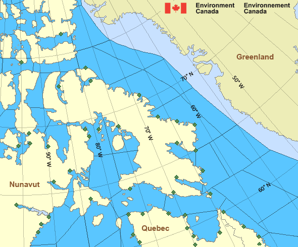
Legend:
 Buoy
Buoy  Land Station
 Ice Conditions
Ice Forecasts
Issued 11:00 AM EDT 20 September 2026 Today Tonight and MondayIce Edge
First ice edge estimated from 7356N 9017W to Devon Island near 7438N9108W. Sea ice west of the ice edge.
Second ice edge estimated from Devon Island near 7610N 8946W to
7556N 8810W to Ellesmere Island near 7621N 8724W. Sea ice northwest
of the ice edge.
Third ice edge estimated from Ellesmere Island near 7619N 7916W to
7547N 7739W to 7556N 7408W then eastward. Sea ice north of the ice
edge.
Ice Coverage
Bergy water.
Warnings
No watches or warnings in effect.
Synopsis
Technical Marine Synopsis
Issued 4:45 PM EDT 20 September 2026 Tonight and Monday At 0000 UTC Monday departing trough from 1011 mb low located from53N 75W to 62N 57W.
At 0000 UTC Monday ridge located over central Hudson Bay.
By 0000 UTC Tuesday ridge located from James Bay to Clyde River.
Arctic - Eastern Arctic Area
- Admiralty
- Arviat
- Baker
- Barrow
- Boothia
- Byam
- Central
- Central Brevoort
- Clarence - northern half
- Clarence - southern half
- Coats
- Committee
- Cumberland
- East Baffin - northern half
- East Baffin - southern half
- East Brevoort
- East Clyde
- East Davis
- East Foxe
- East Labrador Sea
- Eureka - southern half
- Frobisher Bay
- Hassel
- Igloolik
- Jones - eastern half
- Jones - western half
- Kane - southern half
- Lancaster - eastern half
- Lancaster - western half
- Larsen
- Maclean
- Massey
- Maud
- McClintock
- Mid Labrador Coast - Hopedale and south
- Mid Labrador Coast - north of Hopedale
- Navy Board
- Northwest Labrador Sea
- North Labrador Coast
- Norwegian
- Nottingham
- Peary
- Peel
- Pond
- Prince Charles
- Puvirnituq
- Queens
- Rae
- Rankin
- Regent
- Resolution - eastern half
- Resolution - western half
- Roes Welcome
- South Labrador Sea - northwestern half
- South Sverdrup
- South-central Hudson
- St. Roch
- Ungava
- West Baffin - northern half
- West Baffin - southern half
- West Brevoort
- West Clyde - northern half
- West Clyde - southern half
- West Davis - northern half
- West Davis - southern half
- West Foxe
Another Region
Features
Colour-coded weather alerts

Learn more about weather alerting in Canada
- Date modified: