Arctic - Eastern Arctic
Forecast
The data for the page you have requested is not available. Please return to your previous selection or to the Marine Weather homepage.
Stay connected
Weather Conditions
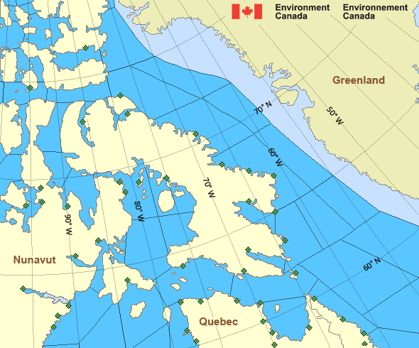
Zoom-in to make a selection

Legend:
Ice Conditions
The data for the page you have requested is not available. Please return to your previous selection or to the Marine Weather homepage.
Warnings
No watches or warnings in effect.
Synopsis
The data for the page you have requested is not available. Please return to your previous selection or to the Marine Weather homepage.
Arctic - Eastern Arctic Area
- Admiralty
- Arviat
- Baker
- Barrow
- Boothia
- Byam
- Central
- Central Brevoort - northern half
- Central Brevoort - southern half
- Clarence - northern half
- Clarence - southern half
- Coats
- Committee
- Cumberland
- East Baffin
- East Brevoort
- East Clyde - northern half
- East Clyde - southern half
- East Davis - northern half
- East Davis - southern half
- East Foxe
- East Labrador Sea
- Eureka - southern half
- Frobisher Bay
- Hassel
- Igloolik
- Jones
- Kane - southern half
- Lancaster - eastern half
- Lancaster - western half
- Larsen
- Maclean
- Massey
- Maud
- McClintock
- Mid Labrador Coast
- Navy Board
- Northwest Labrador Sea
- North Labrador Coast
- Norwegian
- Nottingham - eastern half
- Nottingham - western half
- Peary
- Peel
- Pond
- Prince Charles
- Puvirnituq - northern half
- Puvirnituq - southern half
- Queens
- Rae
- Rankin
- Regent
- Resolution - eastern half
- Resolution - western half
- Roes Welcome
- South Labrador Sea
- South Sverdrup
- South-central Hudson - eastern half
- St. Roch
- Ungava - eastern half
- Ungava - western half
- West Baffin - northern half
- West Baffin - southern half
- West Brevoort - northern half
- West Brevoort - southern half
- West Clyde - northern half
- West Clyde - southern half
- West Davis - northern half
- West Davis - southern half
- West Foxe
Another Region
- Date modified:
 ATOM
ATOM