
Clarence - northern half
Forecast
Marine Forecast
Issued 05:30 PM EDT 11 October 2026
Tonight and Monday.
Wind north 20 knots veering to northeast 25 after midnight except southeast 20 along the coast of Greenland and light along the coast of Greenland Monday evening.
Scattered flurries. Visibility 1 mile or less in flurries.
Freezing spray warning in effect.
Over open water freezing spray beginning Monday afternoon.
Temperatures near minus 5.
Waves
Extended Forecast
Ice Forecast
Stay connected
 ATOM
Weather Conditions
Zoom-in to make a selection
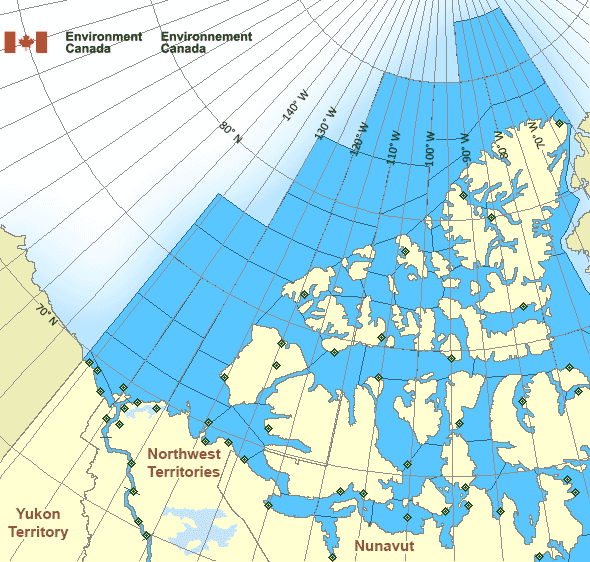
 Buoy
 Land Station
Ice Conditions
Ice Forecasts
Issued 11:00 AM EDT 11 October 2026 Today Tonight and MondayIce Edge
Ice edge estimated from Baffin Island near 7231N 7515W to 7513N7321W then eastward. Sea ice west of the ice edge.
Ice Coverage
1 tenth multi-year ice except 9 tenths grey ice including 4 tenths
multi-year ice in the western section.
Warnings
Warnings (In effect)
Freezing spray warning in effect
Clarence - northern half
Issued 5:30 PM EDT 11 October 2026Moderate or severe freezing spray is occurring or expected to occur in this marine area. Please refer to the latest marine forecasts for further details and continue to monitor the situation through Canadian Coast Guard radio.
Synopsis
Technical Marine Synopsis
Issued 6:30 PM MDT 11 October 2026 Tonight and Monday At 0000 UTC Monday low 992 mb located at 70N 97W.By 0000 UTC Tuesday low 992 mb located at 71N 79W.
By 0000 UTC Tuesday approaching low 992 mb located at 67N 109W.
Arctic - Western Arctic Area
- Admiralty
- Alert
- Amundsen
- Axel Heiberg
- Baillie
- Ballantyne
- Banks
- Barrow
- Bartlett
- Bathurst
- Boothia
- Borden
- Brock
- Byam
- Camsell Bend mile 290 to Tulita mile 512
- Clarence - northern half
- Clarence - southern half
- Committee
- Coronation
- CT4
- CU4
- CV4
- CV5
- CW3
- CW4
- CW5
- CX4
- Dease
- Dolphin
- East Baffin - northern half
- Ellef Ringnes
- Ellesmere
- Eureka - northern half
- Eureka - southern half
- Fitzwilliam
- Fort Good Hope mile 684 to Point Separation mile 913
- Greely
- Griper
- Gustaf
- Hassel
- Hazen
- Igloolik
- Jones - eastern half
- Jones - western half
- Kane - northern half
- Kane - southern half
- Lancaster - eastern half
- Lancaster - western half
- Larsen
- Liddon
- Mackenzie
- Maclean
- Massey
- Maud
- McClintock
- McClure
- Melville
- Nansen
- Navy Board
- Northwest Beaufort
- North Mackenzie
- North Prince Patrick
- North Sverdrup
- North Tuktoyaktuk
- Norwegian
- Peary
- Peel
- Point Separation mile 913 to Kittigazuit Bay mile 1081
- Pond
- Prince Alfred
- Prince of Wales
- Prince Patrick
- Queens
- Rae
- Regent
- Robeson - northern half
- Robeson - southern half
- Roes Welcome
- South Axel Heiberg
- South Ellef Ringnes
- South Prince Patrick
- South Sverdrup
- St. Roch
- Tuktoyaktuk - northern half
- Tuktoyaktuk - southern half
- Tulita mile 512 to Fort Good Hope mile 684
- Ulukhaktok
- Ward Hunt
- West Baffin - northern half
- West Baffin - southern half
- West Foxe
- West Prince Alfred
- Wilkins
- Yukon Coast
Another Region
- Date modified: