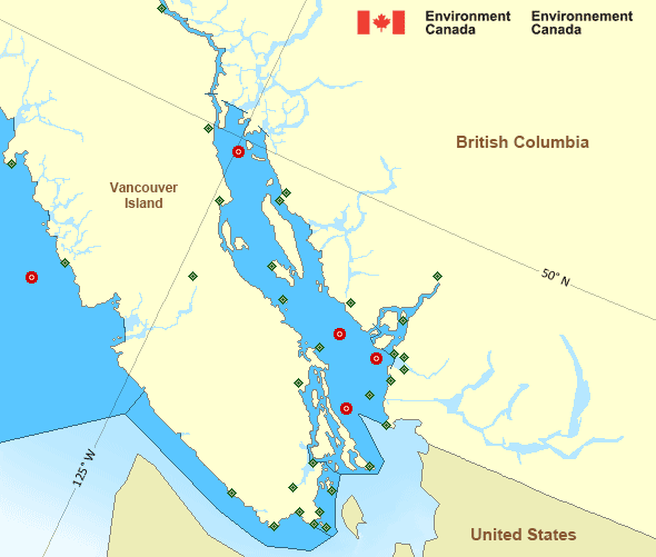
Strait of Georgia - south of Nanaimo
Forecast
Marine Forecast
Issued 04:00 AM PDT 09 May 2025
Today Tonight and Saturday.
Wind light becoming northwest 5 to 15 knots overnight then becoming light Saturday morning. Wind becoming southeast 10 to 15 near noon Saturday.
Extended Forecast
Issued 04:00 AM PDT 09 May 2025
Sunday
Wind southeast 5 to 15 knots becoming northwest
5 to 15 late in the day.
Monday
Wind northwest 10 to 20 knots.
Tuesday
Wind northwest 5 to 15 knots.
Stay connected
Weather Conditions
Zoom-in to make a selection

Legend:
Ice Conditions
There is no ice forecast issued for this area.
Warnings
No watches or warnings in effect.
Synopsis
Technical Marine Synopsis
Issued 4:00 AM PDT 9 May 2025 Today Tonight and Saturday At 4:00 a.m. PDT today ridge located on a line north-south overVancouver Island.
By 4:00 a.m. PDT Saturday weakening ridge located over Vancouver
Island.
At 4:00 a.m. PDT today trough located on a line northeast-southwest
over western Bowie.
By 4:00 p.m. PDT today weakening trough located on a line
northeast-southwest over Bowie.
At 4:00 p.m. PDT today low 1010 mb located west of Explorer.
By 4:00 p.m. PDT Saturday low 1010 mb located over southern Bowie.
Marine Weather Statement
Issued 3:32 AM PDT 9 May 2025 Strong southerlies will continue today and Saturday over most centraland northern waters. As a trough slowly tracks across Bowie today, a
brief period of southerly gales will develop over Dixon Entrance East
and Northern Hecate Strait this afternoon and then ease this evening.
Pacific - Georgia Basin Area
Another Region
- Date modified:
 ATOM
ATOM