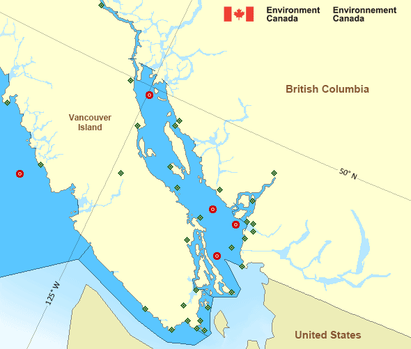
Strait of Georgia - north of Nanaimo
Forecast
Marine Forecast
Issued 04:00 PM PDT 26 July 2024
Tonight and Saturday.
Wind northwest 5 to 15 knots increasing to northwest 15 to 20 early this evening then diminishing to northwest 10 to 15 late overnight. Wind diminishing to light late Saturday morning except northwest 15 over northern sections Saturday late in the day.
Extended Forecast
Issued 04:00 PM PDT 26 July 2024
Sunday
Wind southeast 5 to 15 knots.
Monday
Wind southeast 10 to 20 knots.
Tuesday
Wind southeast 5 to 15 knots.
Stay connected
Weather Conditions
Zoom-in to make a selection

Legend:
Ice Conditions
There is no ice forecast issued for this area.
Warnings
No watches or warnings in effect.
Synopsis
Technical Marine Synopsis
Issued 4:00 PM PDT 26 July 2024 Tonight and Saturday At 4:00 p.m. PDT today ridge located on a line northeast-southwestover Haida Gwaii.
By 4:00 a.m. PDT Saturday weakening ridge located on a line
northeast-southwest over northwestern Explorer.
At 4:00 p.m. PDT Saturday trough located from BC interior to the
Central Coast.
By 9:30 p.m. PDT Saturday departing trough located from BC interior
to Vancouver Island.
Marine Weather Statement
Issued 3:47 PM PDT 26 July 2024 Ahead of a trough moving over Vancouver Island, westerly marginalgales will develop through Juan de Fuca Strait Saturday evening.
Pacific - Georgia Basin Area
Another Region
Features
New Predicting and Alerting Coastal Flooding Program

Find out about coastal flooding coverage, forecasts and warnings in your region
- Date modified:
 ATOM
ATOM