
Juan de Fuca Strait - west entrance
Forecast
Marine Forecast
Issued 04:00 AM PDT 07 August 2026
Today Tonight and Saturday.
Wind light becoming westerly 5 to 15 knots near noon then becoming light overnight. Wind becoming westerly 5 to 15 near noon Saturday.
Periods of drizzle ending late this morning. Fog banks dissipating early this afternoon. Fog banks forming this evening and dissipating near noon Saturday.
Extended Forecast
Issued 04:00 AM PDT 07 August 2026
Sunday
Wind west 20 to 25 knots diminishing to west 15
in the morning then increasing to west 25 to 30 in the afternoon.
Monday
Wind west 10 to 20 knots increasing to west 20
to 25 late in the day.
Tuesday
Wind west 15 to 25 knots increasing to west 25
to 30 late in the day.
Stay connected
 ATOM
ATOMWeather Conditions
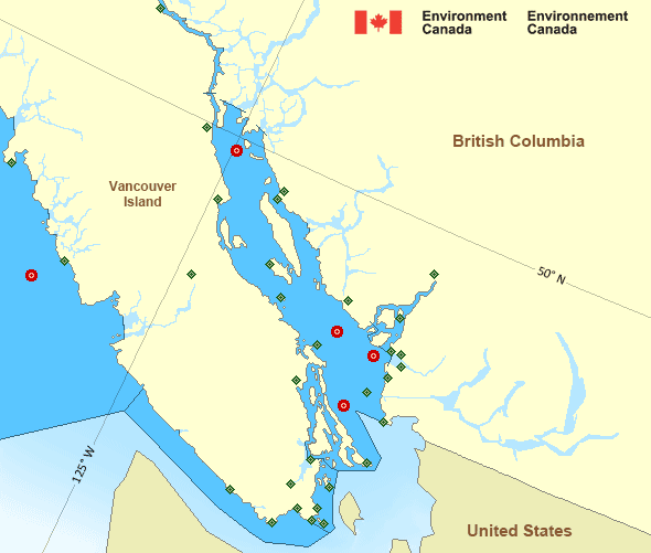
Zoom-in to make a selection
Legend:
 Buoy
Buoy  Land Station
 Ice Conditions
There is no ice forecast issued for this area.
Warnings
No watches or warnings in effect.
Synopsis
Technical Marine Synopsis
Issued 4:00 AM PDT 7 August 2026 Today Tonight and Saturday At 4:00 a.m. PDT today ridge located on a line north-south overBowie.
At 4:00 a.m. PDT Saturday weakening ridge located from Langara
to Explorer.
By 4:00 p.m. PDT Saturday ridge located southwest of Explorer.
Marine Weather Statement
Issued 3:55 AM PDT 7 August 2026 Ahead of the ridge of high pressure, strong northwesterly windscontinue off the west coast of Vancouver Island today and on
Saturday.
Over the Juan de Fuca Strait. Westerly inflow winds will follow an
diurnal trend of strengthening in the afternoon and easing in the
morning. Westerlies are expected to reach gale force Saturday
evening.
Pacific - Georgia Basin Area
Another Region
Features
Colour-coded weather alerts

Learn more about weather alerting in Canada
Thunderstorm Outlooks

Find the Thunderstorm Outlook for your area.
- Date modified: