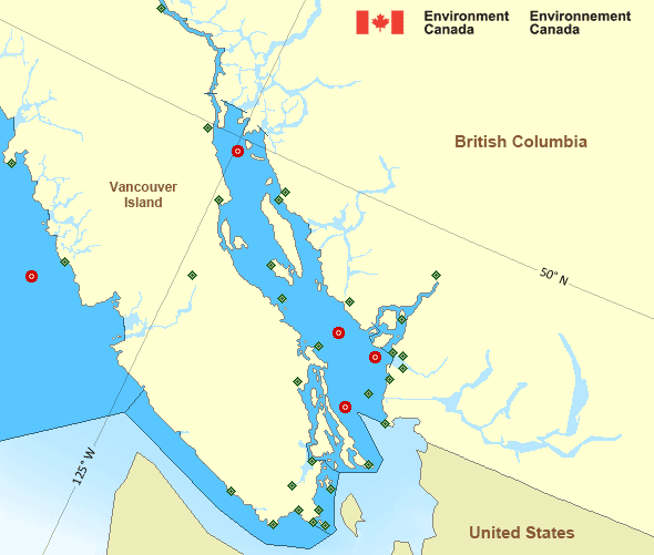
Howe Sound
Forecast
Marine Forecast
Issued 04:00 AM PDT 13 May 2024
Today Tonight and Tuesday.
Strong wind warning in effect.
Wind northerly outflow 5 to 15 knots increasing to southerly inflow 20 near noon then diminishing to northerly outflow 5 to 15 this evening. Wind increasing to southerly inflow 15 to 25 near noon Tuesday.
Extended Forecast
Issued 04:00 AM PDT 13 May 2024
Wednesday
Wind light increasing to southerly inflow 15
to 25 knots in the afternoon.
Thursday
Wind light increasing to southerly inflow 15
to 25 knots.
Friday
Wind light increasing to southerly inflow 15 to
25 knots.
Stay connected
Weather Conditions
Zoom-in to make a selection

Legend:
Ice Conditions
There is no ice forecast issued for this area.
Warnings
Warnings (In effect)
Strong wind warning in effect
Howe Sound
Issued 04:00 AM PDT 13 May 2024'Strong' winds of 20 to 33 knots are occurring or expected to occur in this marine area. Please refer to the latest marine forecasts for further details and continue to monitor the situation through Canadian Coast Guard radio or Weatheradio stations.
Synopsis
Technical Marine Synopsis
Issued 4:00 AM PDT 13 May 2024 Today Tonight and Tuesday At 4:00 a.m. PDT today quasi-stationary ridge located from Explorerto the Central Coast.
Marine Weather Statement
Issued 3:46 AM PDT 13 May 2024 A ridge of high pressure from Explorer to the Central Coast willremain quasi-stationary through Tuesday. This ridge will generate
strong northwesterly winds across the southern waters.
A westerly gale through Juan de Fuca Strait will develop this
afternoon and diminish overnight.
Pacific - Georgia Basin Area
Another Region
- Date modified:
 ATOM
ATOM