
Douglas Channel
Forecast
Marine Forecast
Issued 09:30 PM PDT 27 July 2026
Tonight and Tuesday.
Wind variable 5 to 15 knots becoming southwesterly inflow 10 to 20 early Tuesday afternoon.
Rain changing to showers near noon Tuesday.
Extended Forecast
Issued 04:00 PM PDT 27 July 2026
Wednesday
Wind southwesterly inflow 10 to 20 knots
diminishing to light in the morning then becoming southwesterly inflow 5 to 15
in the afternoon.
Thursday
Wind southwesterly inflow 5 to 15 knots
becoming light.
Friday
Wind northeasterly outflow 5 to 15 knots
becoming light late in the day.
Stay connected
 ATOM
ATOMWeather Conditions
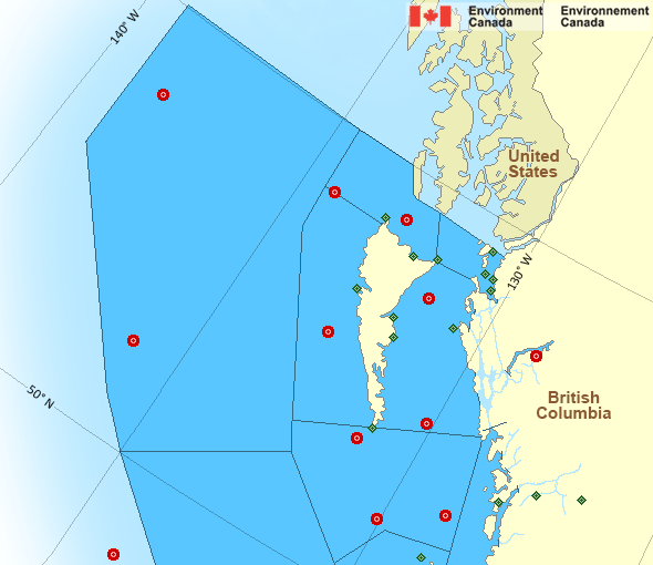
Zoom-in to make a selection
Legend:
 Buoy
Buoy  Land Station
 Ice Conditions
There is no ice forecast issued for this area.
Warnings
No watches or warnings in effect.
Synopsis
Technical Marine Synopsis
Issued 9:30 PM PDT 27 July 2026 Tonight and Tuesday At 9:30 p.m. PDT tonight low 1002 mb located over southern Bowie.By 4:00 a.m. PDT Tuesday low 1003 mb located over southwestern
Haida Gwaii.
At 9:30 p.m. PDT tonight frontal system located over northwestern
Cape Scott.
By 4:00 a.m. PDT Tuesday frontal system located over Vancouver
Island.
Marine Weather Statement
Issued 9:16 PM PDT 27 July 2026 A frontal system near Cape Scott is bringing gales tonight to WestCoast Vancouver Island North, Queen Charlotte Sound, Central Coast,
and Southern Hecate Strait. Winds will ease below gales by midnight.
Pacific - North Coast Area
Another Region
Features
Colour-coded weather alerts

Learn more about weather alerting in Canada
Thunderstorm Outlooks

Find the Thunderstorm Outlook for your area.
- Date modified: