
Douglas Channel
Forecast
Marine Forecast
Issued 04:00 AM PDT 02 July 2025
Today Tonight and Thursday.
Wind southwesterly inflow 10 to 20 knots today tonight and Thursday.
Scattered showers ending near midnight.
Extended Forecast
Issued 04:00 AM PDT 02 July 2025
Friday
Wind light increasing to southwesterly inflow
10 to 20 knots in the afternoon.
Saturday
Wind light increasing to southwesterly inflow
10 to 20 knots.
Sunday
Wind light increasing to southwesterly inflow
10 to 20 knots.
Stay connected
 ATOM
ATOMWeather Conditions
Zoom-in to make a selection
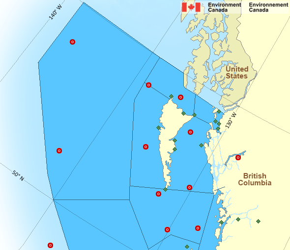
Legend:
 Buoy
Buoy  Land Station
 Ice Conditions
There is no ice forecast issued for this area.
Warnings
No watches or warnings in effect.
Synopsis
Technical Marine Synopsis
Issued 4:00 AM PDT 2 July 2025 Today Tonight and Thursday At 4:00 a.m. PDT today ridge located west of the offshore waters.By 9:30 p.m. PDT tonight quasi-stationary ridge located from the
Alaska panhandle to Explorer.
Marine Weather Statement
Issued 3:41 AM PDT 2 July 2025 A ridge of high pressure offshore will bring marginal westerly galesthrough Juan de Fuca Strait this afternoon to evening.
Pacific - North Coast Area
Another Region
- Date modified: