
Strait of Georgia - north of Nanaimo
Forecast
Marine Forecast
Issued 04:00 AM PDT 19 April 2024
Today Tonight and Saturday.
Strong wind warning in effect.
Wind northwest 5 to 15 knots becoming light late this morning then increasing to southeast 10 to 20 Saturday morning. Wind increasing to southeast 20 to 30 near noon Saturday.
Showers Saturday afternoon and evening.
Extended Forecast
Issued 04:00 AM PDT 19 April 2024
Sunday
Wind southeast 15 to 25 knots veering to
southwest 10 to 20 in the morning then to northwest 10 to 20 in the
afternoon.
Monday
Wind northwest 5 to 15 knots.
Tuesday
Wind northwest 5 to 15 knots.
Stay connected
 ATOM
ATOMWeather Conditions
Zoom-in to make a selection
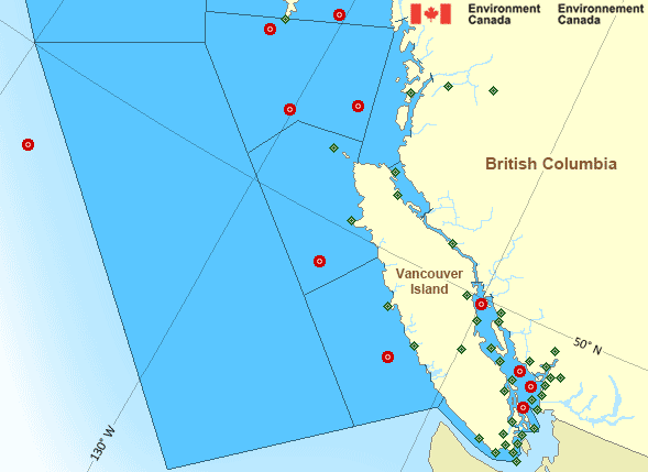
Legend:
 Buoy
Buoy  Land Station
 Ice Conditions
There is no ice forecast issued for this area.
Warnings
Warnings (In effect)
Strong wind warning in effect
Strait of Georgia - north of Nanaimo
Issued 04:00 AM PDT 19 April 2024'Strong' winds of 20 to 33 knots are occurring or expected to occur in this marine area. Please refer to the latest marine forecasts for further details and continue to monitor the situation through Canadian Coast Guard radio or Weatheradio stations.
Synopsis
Technical Marine Synopsis
Issued 4:00 AM PDT 19 April 2024 Today Tonight and Saturday At 4:00 a.m. PDT today quasi-stationary ridge located over BCinterior.
At 4:00 a.m. PDT today quasi-stationary trough located off Bowie.
At 9:30 p.m. PDT tonight approaching low located southwest of
Explorer.
Marine Weather Statement
Issued 3:50 AM PDT 19 April 2024 A ridge of high pressure is driving strong coastal outflow windsthrough the period.
An area of low pressure is forecast to approach Explorer overnight
tonight and lead to strong to gale force southeasterly winds
developing westwards of Vancouver Island on Saturday. Strong to gale
force winds will likely spread into central waters later Saturday as
the area of low pressure heads towards the northern tip of Vancouver
Island.
Gale force northwesterly winds are expected in the wake of this
system later on Saturday.
Pacific - South Coast Area
Another Region
- Date modified: