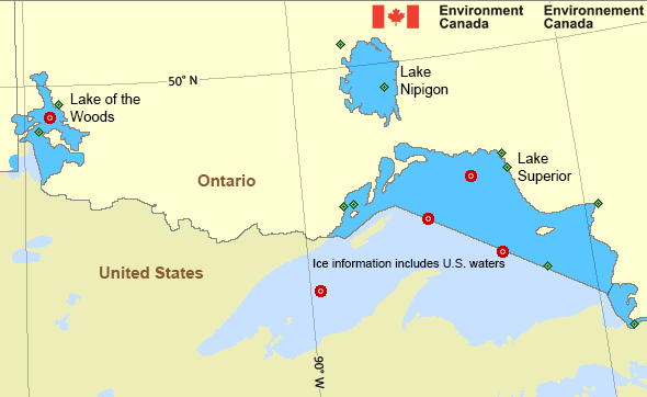
Western Lake Superior
Forecast
Marine Forecast
Issued 10:30 AM EDT 06 June 2024
Today Tonight and Friday.
Strong wind warning in effect.
Wind southwest 10 knots increasing to west 15 near noon and to west 20 early Friday morning. Wind diminishing to northwest 10 Friday afternoon.
Scattered showers and fog patches ending near noon Friday.
Waves
Issued 10:30 AM EDT 06 June 2024
Today Tonight and Friday.
Waves 0.5 metres or less building to 0.5 to 1 this afternoon and
to 1 to 1.5 Friday morning. Waves subsiding to 0.5 or less Friday
evening.
Extended Forecast
Issued 03:00 AM EDT 06 June 2024
Saturday
Wind northwest 15 knots.
Sunday
Wind northwest 20 knots.
Monday
Wind north 15 knots.
Stay connected
Weather Conditions
Zoom-in to make a selection

Legend:
Ice Conditions
*Ice Forecast and Warnings also apply to U.S. waters
Ice Forecasts
Issued 12:00 PM EDT 27 April 2024 Forecasts have ended for the season.Warnings
Warnings (In effect)
Strong wind warning in effect
Western Lake Superior
Issued 10:30 AM EDT 06 June 2024'Strong' winds of 20 to 33 knots are occurring or expected to occur in this marine area. Please refer to the latest marine forecasts for further details and continue to monitor the situation through Canadian Coast Guard radio or Weatheradio stations.
Synopsis
Technical Marine Synopsis
Issued 10:30 AM EDT 6 June 2024 Today Tonight and Friday At 10:30 a.m. EDT today trough located on a line north-south overLake Ontario.
By 10:30 a.m. EDT Friday trough located on a line north-south over
eastern Ontario.
At 10:30 a.m. EDT today low 989 mb located over northwestern
Ontario.
By 10:30 a.m. EDT Friday low 996 mb located near James Bay.
Great Lakes - Lake Superior Area
Another Region
Features
New Predicting and Alerting Coastal Flooding Program

Find out about coastal flooding coverage, forecasts and warnings in your region
- Date modified:
 ATOM
ATOM